Client platform · Prefeitura de Itabirito (MG)
Geoportal Itabirito
A public WebGIS that consolidates the multipurpose territorial cadastre of Itabirito, Minas Gerais, into one map.
Built for the municipality during my research years, the geoportal exposes cadastral, tax and land data through a React and TypeScript web map backed by QGIS Server, keeping the whole stack open source and free of proprietary GIS licences.
At a glance
- React + TypeScript + OpenLayers frontend talking directly to QGIS Server
- Open-source stack end to end, no proprietary map server licence
- Containerised and deployed with Docker Compose
- Still online and serving the municipality
Context
The multipurpose territorial cadastre (CTM) is the municipality's base for taxation, planning and land regularisation. Publishing it as a WebGIS lets citizens and departments query parcels and layers without desktop GIS, and QGIS Server let us reuse the same project files the cadastral team already maintained.
More projects
All projects- Draw a line
- API route
- PostGIS
- Profile
Slope
Draw a line on a map and get a live elevation profile computed straight from a PostGIS raster.
- Next.js
- React
- rlayers (OpenLayers)
- Plotly
- +3
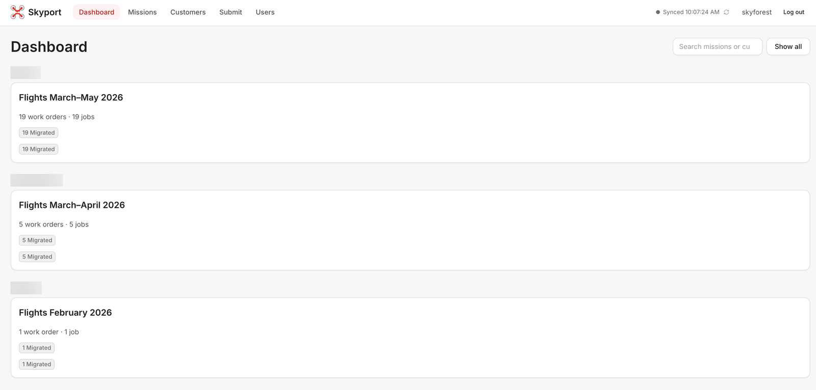
Skyport
The operations platform that turns Skyforest's drone flights into finished map layers, end to end.
- n8n
- Ordo
- Next.js
- MapLibre
- +6
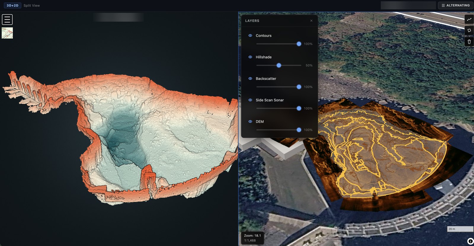
MapPrism
A LiDAR and bathymetry processing platform that turns raw point clouds into web-ready 3D and 2D products automatically.
- Ordo
- n8n
- PDAL
- GDAL
- +7