Client platform
GeoServer Mobile Client
An offline-capable mobile client for GeoServer layers: download, view, edit features and export, built in three weeks.
A client already managed its layers in a GeoServer-backed web system but needed field crews to take those layers offline, edit features and add new ones from a phone. Ionic, React, TypeScript and OpenLayers, with GeoServer's REST API as the only backend.
At a glance
- Ionic + React + OpenLayers with full offline interaction: download layers, browse, edit, collect, export GeoJSON
- No custom backend: GeoServer REST manages workspaces, stores, layers, users and styles
- From requirements to an unlisted Google Play release in three weeks
- Published through Ionic Appflow, restricted to the client's authorised users
Approach
Ionic and React gave a responsive mobile UI quickly, and OpenLayers brought the mapping depth the job needed: efficient vector and raster rendering plus drawing tools for complex features. Building directly on GeoServer's REST API meant the app inherited the client's existing users, layers and styles instead of duplicating them.
More projects
All projects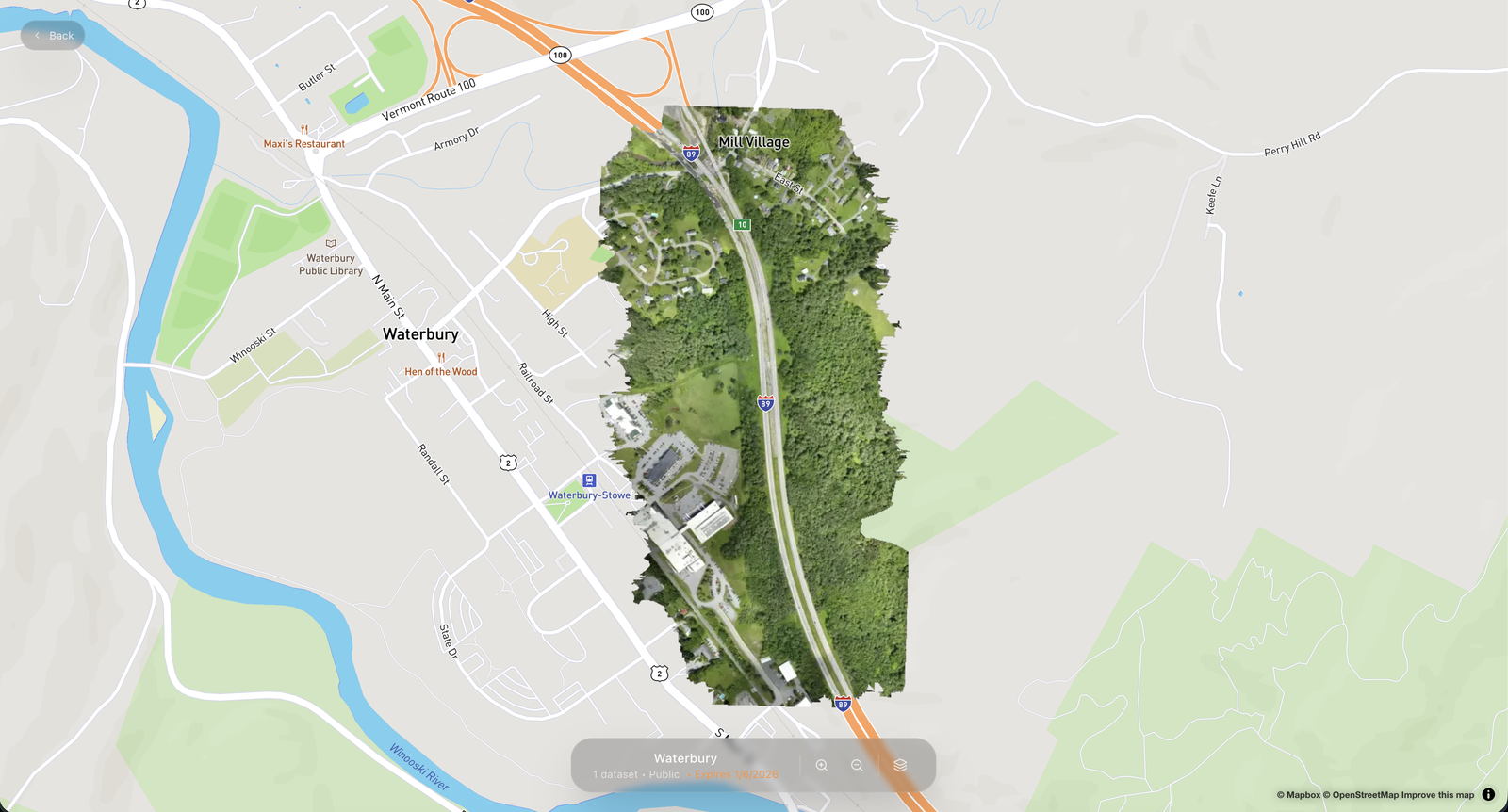
Territorial Maps
A SaaS for publishing drone imagery: upload from your computer, get web-ready layers and share instructions for any GIS.
- Next.js
- MapLibre
- Cloudflare
- n8n
- +3
Point Cloud Publishing Automation
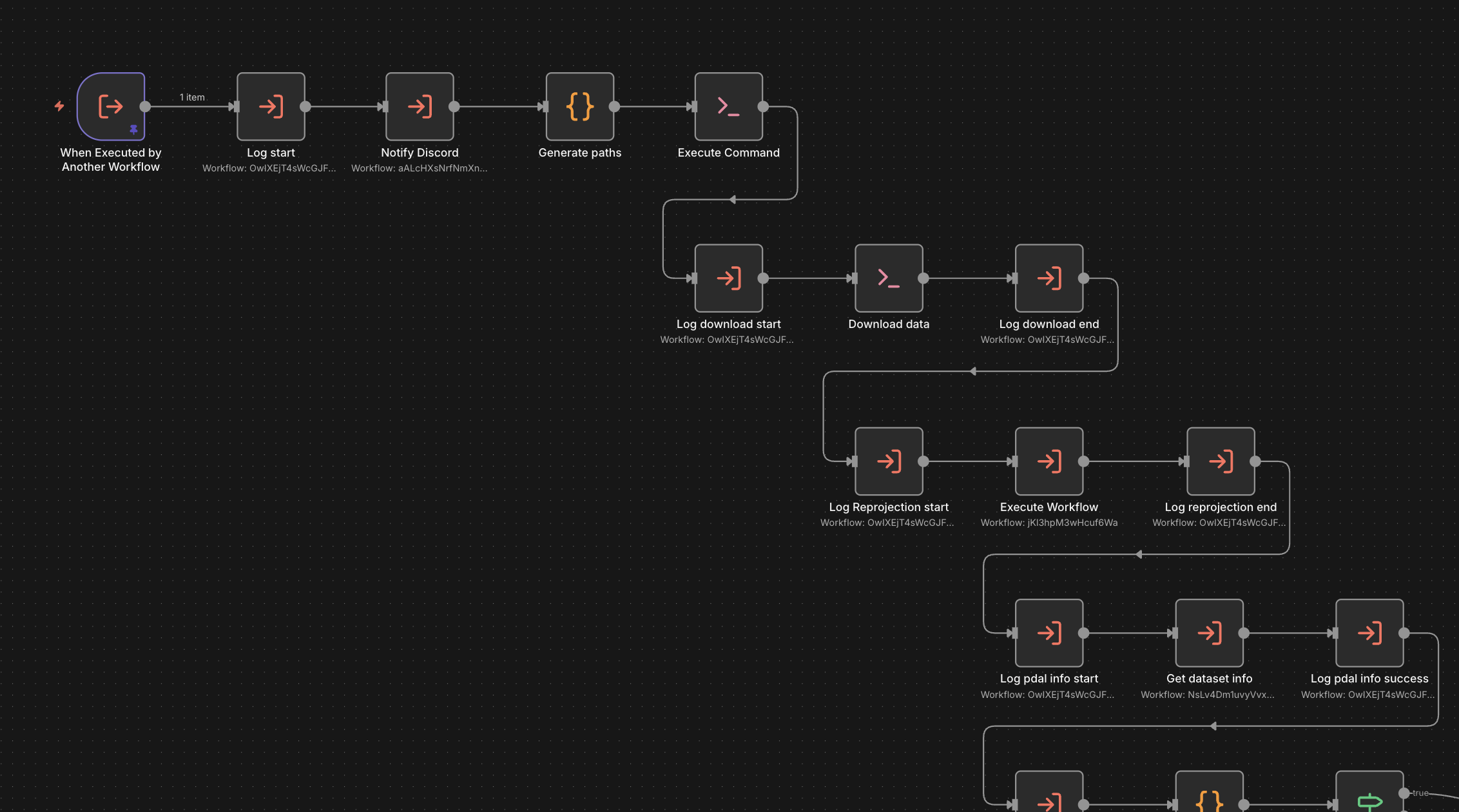
An n8n-based framework that takes raw point clouds to optimised Potree scenes, built as the backend of a SaaS.
- n8n
- PDAL
- Entwine
- PotreeConverter
- +3
Geoportal Itabirito
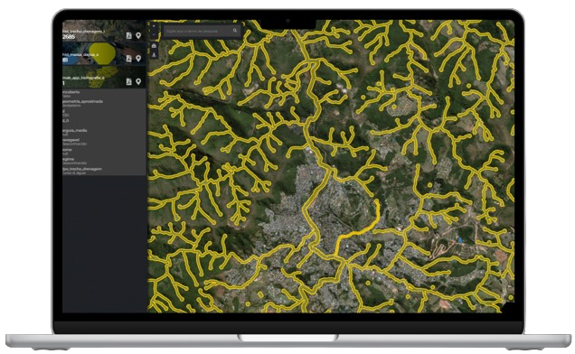
A public WebGIS that consolidates the multipurpose territorial cadastre of Itabirito, Minas Gerais, into one map.
- React
- TypeScript
- OpenLayers
- QGIS Server
- +1